Sources on this page
Every number on this page comes from a named source. Click any source to open the document in a new tab.
If a link has moved or a document has changed, let us know and we will update the record and log the change.
Last verified: · 3 primary and local sources
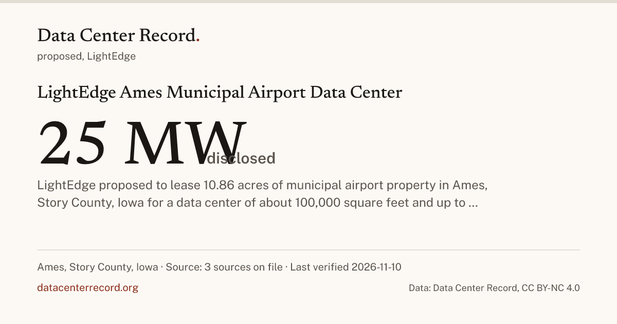
LightEdge proposed to lease 10.86 acres of municipal airport property in Ames, Story County, Iowa for a data center of about 100,000 square feet and up to 25 MW at full build (developer figures). On July 14, 2026, the Ames City Council voted to delay a decision on the lease and directed staff to pursue data center definitions and utility code changes. On July 28, 2026, the council voted 4 to 2 to pause action on new data center developments until May 1, 2027. [1] Filings on the record specify 1 planned or operational building. [2] The Ames City Council voted to delay a decision on the Lightedge proposal to lease 10.86 acres of airport property for a data center and directed staff to pursue data center definitions and utility code changes. [2]
Equivalent to ~20,750 U.S. homes (U.S. EIA 830 homes/MW baseline) · 1.2% of Hoover Dam nameplate capacity (2,080 MW).
Grid interconnection and utility service tracked on file.
U.S. EPA household water equivalence (300 gal/day per home) requires a disclosed daily or annual water figure.
No local property tax abatement amount disclosed in public filings.
1 planned or operational data hall building.
Parcel boundaries and municipal zoning tracked.
State and local tax abatement agreements and permanent job commitments are recorded when filed.
No local property tax abatement amount disclosed in public filings.
Sources:
A comparison is arithmetic on two published rows and is never a new fact (how comparisons are made).
Connected government officials, corporate entities, utilities and local rules on the public record.
Citizen privacy standard: Elected officials, corporate applicants and utility executives are named in full. Private residents who speak at public comment are cited as Resident First L. unless they hold public office or speak on behalf of an organization.
Disclosed engineering ceilings, reported actuals and primary regulatory basis for LightEdge Ames Municipal Airport Data Center.
| Field / Parameter | Permitted / Disclosed Ceiling | Reported Actual | Basis & Primary Source |
|---|---|---|---|
| Electrical Capacity (MW) | 25 MW | the developer's figure [2] cityofames.org | |
| Site Footprint (Acres) | 10.86 acres | 10.86 acres | the developer's figure [2] cityofames.org |
| Data Hall Buildings | 1 building | About 100,000 square feet at full build (developer estimate) [1] cityofames.org | |
| Cooling & Water System | |||
| Backup Diesel / Gas Generators | |||
| Tax Abatement & Annual Revenue |
Blank cell: not disclosed by any source on file.
The record adds each the day a source gives it. Why these documents.
Acts of Story County and Ames about data centers, on the record with their source. A rule about the area is not a decision about this record.
| Date | Who | Decision | Source |
|---|---|---|---|
| Ames | The council appointed the study committee members. | cityofames.org (opens in a new tab) | |
| Ames | The council approved the Data Center Study Committee plan. | cityofames.org (opens in a new tab) | |
| Ames | The Ames City Council voted 4 to 2 to pause action on new data center developments until May 1, 2027. | bluewaterhealthyliving.com (opens in a new tab) | |
| Ames | The Ames City Council voted to delay a decision on the Lightedge proposal to lease 10.86 acres of airport property for a data center and directed staff to pursue data center definitions and utility code changes. | cityofames.org (opens in a new tab) |
Chronological regulatory, corporate and permitting events on the record, newest first.
Moratorium adopted (content date)
The Ames City Council voted 4 to 2 to pause action on new data center developments until May 1, 2027.
[3] bluewaterhealthyliving.com, also Govly (opens in a new tab) news outlet
· Status: proposed (content date)
The Ames City Council voted to delay a decision on the Lightedge proposal to lease 10.86 acres of airport property for a data center and directed staff to pursue data center definitions and utility code changes.
Verified data center records in Iowa within 60 miles by straight line distance.
| Facility & Location | Distance | Stage | Operator / Tenant | Disclosed Scale |
|---|---|---|---|---|
| InfoBunker Underground Data Center (Boone) Boone, Boone County | ~12 mi | Running | InfoBunker | 6 MW |
| Tract Altoona Data Center Park Altoona, Polk County | ~26 mi | Proposed | Tract | 6 buildings |
| Meta Altoona Data Center Campus Altoona, Polk County | ~26 mi | Running | Meta | 400 MW |
| LightEdge Altoona Data Center 1 (DSM1) Altoona, Polk County | ~26 mi | Running | LightEdge Solutions | 8 MW |
| LightEdge Altoona Data Center 2 (DSM2) Altoona, Polk County | ~26 mi | Running | LightEdge Solutions | 10 MW |
| IP Pathways Urbandale Data Center (DSM1) Urbandale, Polk County | ~28 mi | Running | IP Pathways | 4 MW |
Blank cell: not disclosed by any source on file.
Answered directly from the verified filings and local actions on this page.
LightEdge is the developer, cityofames.org (opens in a new tab). No construction contractor is named on the record yet.
Power: 25 MW (the developer's figure, cityofames.org (opens in a new tab)). Water: not disclosed by any source on file.
It is proposed, since July 14, 2026. The newest entry, July 28, 2026: The Ames City Council voted 4 to 2 to pause action on new data center developments until May 1, 2027. [3]
Ames (rated restrictive): The council appointed the study committee members (September 22, 2026, cityofames.org (opens in a new tab)); and Ames: The council approved the Data Center Study Committee plan (August 25, 2026, cityofames.org (opens in a new tab)). 4 events are on the county's rows; a rule about the area is not a decision about this record.
3 sources on file.
This site is in the MRO West (MROW) regional power market.
Every number on this page comes from a named source. Click any source to open the document in a new tab.
If a link has moved or a document has changed, let us know and we will update the record and log the change.
Every record on this page carries its sources and the date it was last verified. When you cite it in a story, a study or a public filing, link to this page and give the date you accessed it.
Data Center Record. LightEdge Ames Municipal Airport Data Center. Last verified November 10, 2026. https://datacenterrecord.org/projects/lightedge-ames-airport-data-center-ia. Accessed November 17, 2026.
Every row on this page is available to download with its source, its basis and the date it was last verified.
Download this page's records (CSV) JSON
Licensed CC BY-NC 4.0. Say where it came from and do not sell it or use it to train a commercial model without a license.
Free to use and republish with attribution for reporting, research, teaching and public filings under CC BY-NC 4.0. Commercial, enterprise, financial or AI training use needs a commercial license.
Data Center Record takes no money from data center developers, operators, utilities or trade groups. That rule does not change for licensing.
Data Center Record is an independent project and takes no money from data center developers, operators, utilities or trade groups. Reader support keeps the record free to read, with no ads and no paywall.
Last verified , first recorded . Every correction is logged on the corrections page. Report a correction · Send a tip about LightEdge Ames Municipal Airport Data Center
Data Center Record, "LightEdge Ames Municipal Airport Data Center", https://datacenterrecord.org/projects/lightedge-ames-airport-data-center-ia. Data: Data Center Record, datacenterrecord.org, CC BY-NC 4.0.
The structured rows are CC BY-NC 4.0. Link to this page; that is what turns a reuse into a citation. Commercial use needs a license. Prose stays under copyright.