"This is the Ohio that people brag about. This is the Ohio people love."
Context & source notes
Provenance: Quoted; content date; reported from elsewhere.
Setting: NPR interview.
Primary source: NPR (opens in a new tab).
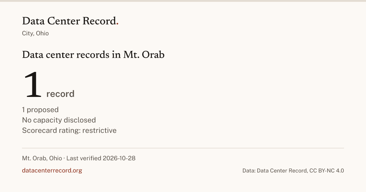
Mt. Orab has 1 data center on the record; it is proposed. Mt. Orab limits new data centers. The latest decision on the record: Conserve Ohio and Brown County residents organized local opposition after 1,000 acres of farmland near Mt. Orab were sold to a data center developer, elevating data center siting into a statewide campaign issue in the Ohio U.S. Senate race, October 28, 2026. Brown County's own decisions are on the Brown County page.
How to read this page. Every count comes from the records on this page and links to where it is counted. Nothing is published until a person reads its source, and a figure no source gives reads Not disclosed; nothing is estimated. A rating changes only when a person sets it.
| Facility and county | Stage | Operator | Power (MW) | Latest entry |
|---|---|---|---|---|
| Mt. Orab Data Center Proposal Mt. Orab, Brown County | Proposed | NPR reported that a data center developer acquired 1,000 acres of farmland near Mt. Orab in Brown County, Ohio, prompting local Republican attorney Nick Owens to found Conserve Ohio and organize statewide opposition ahead of the 2026 midterm elections. npr.org (opens in a new tab) primary source October 28, 2026 |
A blank cell means not disclosed by any source on file. Power is the developer's figure or a permit's, each linked on the record.
| Record | Place | Stage | Operator | MW | Basis | Located | Tier | Verified |
|---|---|---|---|---|---|---|---|---|
| Mt. Orab Data Center Proposal | Mt. Orab, Brown | Proposed | centroid | 2 | 2026-10-28 |
Tier 1: an official or company source. Tier 2: a news report resolving to the outlet's own page. Located: a site coordinate from a permit, a parcel or an address, or the county or town centroid. Verified: the last day a person read the source. A blank cell means not disclosed by any source on file.
What the city has done about data centers: each body on its own row with its rating, open, case by case, restrictive or closed, never good or bad, and every vote, ordinance, moratorium or agreement one tap away, newest first, with its source.
| Body | Level | Rating | In force until | Latest act | Acts | Verified |
|---|---|---|---|---|---|---|
| Mt. Orab | city | Conserve Ohio and Brown County residents organized local opposition after 1,000 acres of farmland near Mt. Orab were sold for a proposed hyperscale data center. npr.org (opens in a new tab) primary source Oct 28, 20261 act on this rowEvery act on the Mt. Orab row
| 1 | 2026-10-28 |
A rating rests only on a binding act in force; "not rated" means no person has set one. A blank cell means the record holds nothing for it.
Ownership changeMt. Orab Data Center Proposal
When, you know, the president says, well, you'll just be poor and backwards, no. I want our regular way of life.
Every Ohio statement, by speaker
"This is the Ohio that people brag about. This is the Ohio people love."
Provenance: Quoted; content date; reported from elsewhere.
Setting: NPR interview.
Primary source: NPR (opens in a new tab).
Distances run between the centers the Census Bureau gives each place. Every Ohio county.
| Figure | Disclosed total | Disclosed | Without a figure | Basis |
|---|---|---|---|---|
| Power | 0 | 1 | ||
| Water, stated per day | 0 | 1 | ||
| Water, stated per year | 0 | 1 | ||
| Permanent jobs | 0 | 1 | ||
| Tax each year | 0 | 1 |
A blank total means no record disclosed the figure; the count without one says how many.
Summed only where a record disclosed the figure; a record with no figure adds nothing and is counted as not disclosed. Water is summed per day and per year separately, as the sources stated it, and never converted. A tax claim given as a range is summed at both ends.
| Use | Records | Power | Water | Jobs | Tax each year |
|---|---|---|---|---|---|
| No stated use | 1 |
A blank cell means no record with that use disclosed the figure.
A record that lists several uses counts once under each. Each cell is the sum over the records with that use, disclosed rows only.
No source on file states what any of the 1 tracked facility in Mt. Orab is for.
No source on file states how any of the 1 tracked facility in Mt. Orab is cooled.
Report a correction · Send a tip about Mt. Orab · The rows here are part of the Ohio export.
Data Center Record, "Data center records in Mt. Orab, Brown County, Ohio", https://datacenterrecord.org/states/oh/brown-county/mt-orab. Data: Data Center Record, datacenterrecord.org, CC BY-NC 4.0.
The structured rows are CC BY-NC 4.0. Link to this page; that is what turns a reuse into a citation. Commercial use needs a license. Prose stays under copyright.