Data centers in Adams County, Ohio
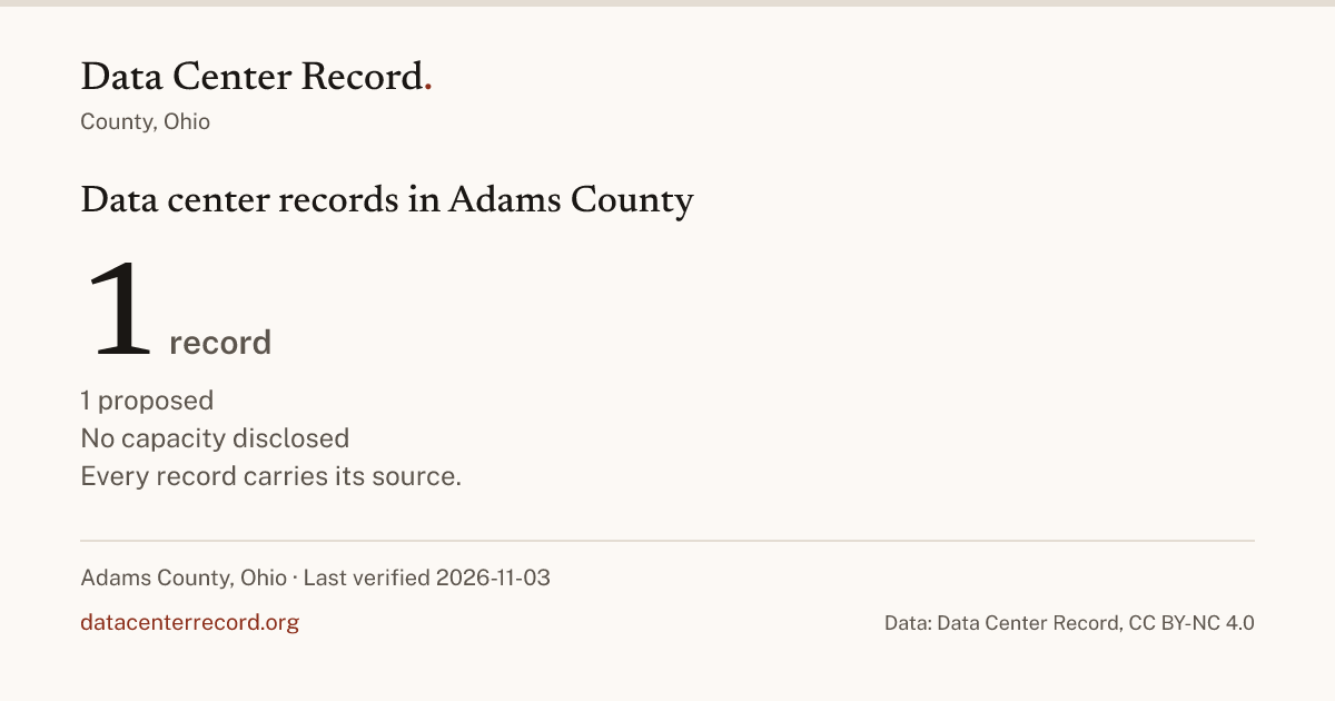
Adams County has 1 data center on the record; it is proposed. No county rule about data centers is on the record for Adams County itself; 2 bodies inside it have a scorecard row. The latest decision on the record: Sprigg Township voters rejected the referendum on establishing the township's first zoning resolution for its unincorporated area under Ohio Revised Code Chapter 519 on November 3, 2026, voting 303 yes (42.02 percent) to 418 no (57.98 percent) (Sprigg Township).
The data center in Adams County
Every Adams County record 1 record · blank cell: not disclosed · sort by any column
| Facility and county | Stage | Operator | Power (MW) | Latest entry | Basis | Located | Tier | Verified |
|---|---|---|---|---|---|---|---|---|
| Amazon Manchester Adams County data center Manchester, Adams County | Proposed | Amazon Web Services | Amazon proposed a 1.3 GW data center in Manchester, Adams County, Ohio, requiring 31 times the county's current power usage, with water drawn from river and municipal sources. foodandwaterwatch.org (opens in a new tab) trade press May 28, 2026 | centroid | 3 | 2026-11-02 |
Blank cell: not disclosed by any source on file. Power is the developer's figure or a permit's, each linked on the record.
The cities in Adams County on the record (3)
| City | Census GEOID | Projects | Rules |
|---|---|---|---|
| Manchester | 3947012 | 0 | |
| Monroe Township | 3900151268 | 1 | |
| Sprigg Township | 3900174069 | 1 |
A city without a record is listed, not linked.
What Adams County has decided 2 bodies, 2 decisions on the record
What the county and the cities in it have done about data centers: each body on its own row with its rating, open, case by case, restrictive or closed, never good or bad, and every vote, ordinance, moratorium or agreement one tap away, newest first, with its source.
| Body | Level | Rating | In force until | Latest act | Acts | Verified |
|---|---|---|---|---|---|---|
| Monroe Township | city | not rated | Monroe Township voters approved the referendum establishing the township's first zoning plan for its unincorporated area under Ohio Revised Code Chapter 519 on November 3, 2026, voting 572 in favor (60.98 percent) to 366 against (39.02 percent). ballotpedia.org (opens in a new tab) primary source Nov 31 act on this rowEvery act on the Monroe Township row
| 1 | 2026-11-03 | |
| Sprigg Township | city | not rated | Sprigg Township voters rejected the referendum on establishing the township's first zoning resolution for its unincorporated area under Ohio Revised Code Chapter 519 on November 3, 2026, voting 303 yes (42.02 percent) to 418 no (57.98 percent). ballotpedia.org (opens in a new tab) primary source Nov 31 act on this rowEvery act on the Sprigg Township row
| 1 | 2026-11-03 |
A rating rests only on a binding act in force; "not rated" means no person has set one. Blank cell: no end date or count on the record for that column.
What happened
- ballotpedia.org (opens in a new tab) primary source
- ballotpedia.org (opens in a new tab) primary source
-
Now proposedAmazon Manchester Adams County data center
foodandwaterwatch.org (opens in a new tab) trade press
Nearby places with records
Distances run between the centers the Census Bureau gives each place. Every Ohio county.
Disclosed figures
nothing disclosed by 1 record
Power, water, jobs and tax
| Figure | Disclosed total | Disclosed | Without a figure | Basis |
|---|---|---|---|---|
| Power | 0 | 1 | ||
| Water, stated per day | 0 | 1 | ||
| Water, stated per year | 0 | 1 | ||
| Permanent jobs | 0 | 1 | ||
| Tax each year | 0 | 1 |
A blank total means no record disclosed the figure; the count without one says how many.
Summed only where a record disclosed the figure; a record with no figure adds nothing and is counted as not disclosed. Water is summed per day and per year separately, as the sources stated it, and never converted. A tax claim given as a range is summed at both ends.
By what the facilities are for
| Use | Records | Power | Water | Jobs | Tax each year |
|---|---|---|---|---|---|
| No stated use | 1 |
A blank cell means no record with that use disclosed the figure.
A record that lists several uses counts once under each. Each cell is the sum over the records with that use, disclosed rows only.
What the facilities are for
No source on file states what any of the 1 tracked facility in Adams County is for.
How the facilities are cooled
No source on file states how any of the 1 tracked facility in Adams County is cooled.
About this data
Report a correction · Send a tip about Adams County · The rows here are part of the Ohio export.
Cite this page
Data Center Record, "Data center records in Adams County, Ohio", https://datacenterrecord.org/states/oh/adams-county. Data: Data Center Record, datacenterrecord.org, CC BY-NC 4.0.
The structured rows are CC BY-NC 4.0. Link to this page; that is what turns a reuse into a citation. Commercial use needs a license. Prose stays under copyright.
For researchers
- Level
- county
- Census GEOID
- 39001
- Census geography
- County, Adams County
- Rating
- Not rated